Maps and Compass Navigation
NOTE: this information is UK focused, it may be applicable elsewhere, but this is not guaranteed.
Grid References
- The country is divided up into 100 km squares, each with a specific two letter sequence, e.g.
NX. You can find this in one of the corners of an OS Map. - OS Maps have a 1 km grid on them, you can use this to get 1 km of accuracy, e.g. NX6543. (65 KM from west to east into the square, and 43 KM from north to south into the square).
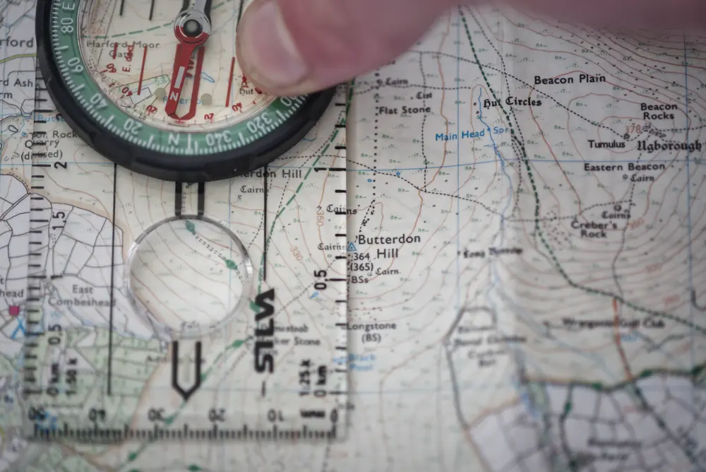
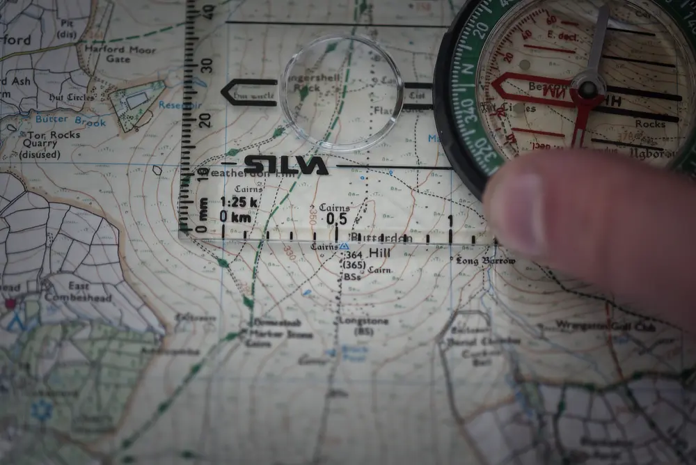
- They are often subdivided up into 100 km sections.**To be as accurate as possible, you can use a compass 1:25K scale. ** See below for an example where the exact 6 digit grid reference is SX659690.
- You may also wish to use a roamer if you have one.


- If you can want to convert between GPS coordinates and UK grid references, you can use this handy tool
Contour Lines
- The yellow lines on an OS map.
- They can be used to identify the steepness of the terrain.
- The legend/key will specify the interval of the lines. On most maps, this will be 10 m. Sometimes it may be 5 m.
- Remember that if the contour line resolution is 10 m, then a feature 9 m tall will not appear on the map.
- It is sometimes helpful to think of contour lines as if they were high tide marks on a beach.
Compass 3-Step Navigation Method
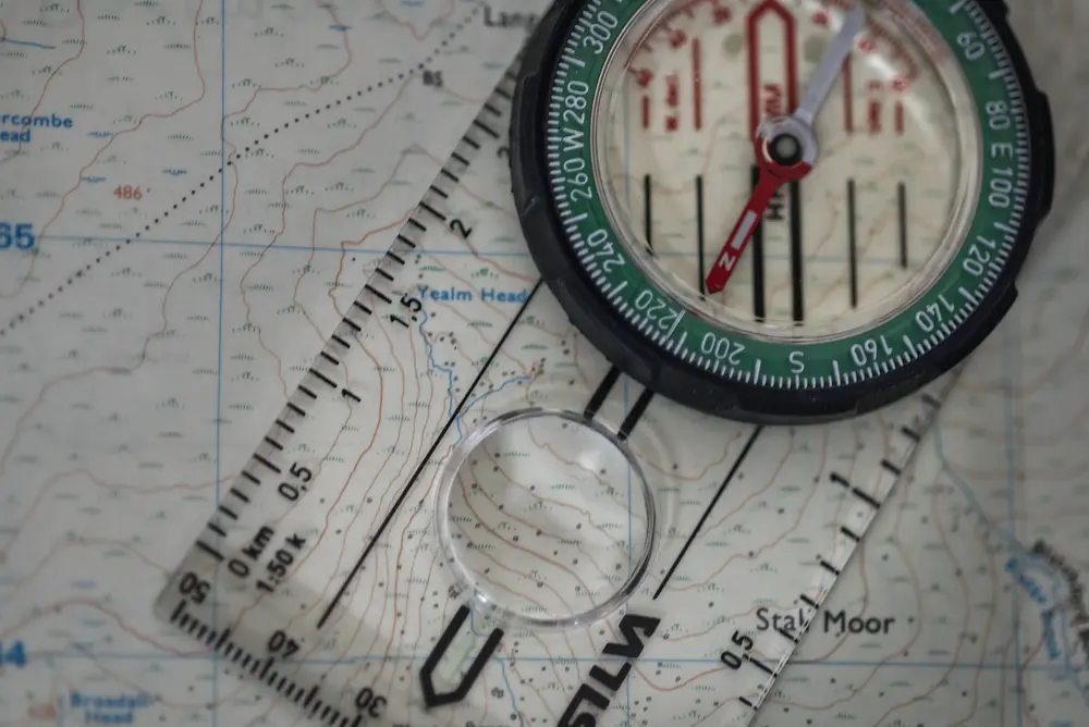
- Point the compass on the map between where you are now and where you want to go. Then, align the compass north with
the map north.

- Add the magnetic variation to your bearing by rotating the compass housing. This adjustment can be found on the map
legend.

- Align the magnetic north arrow with the north on the dial. Then, walk in the direction indicated by the direction
arrow.

Orientating Yourself
Transit Lines
A transit line is a clearly identifiable line in the land that intersects with your route. If you are unable to get two objects to create a transit line, you may wish to use two objects with two separate transit lines to be more accurate. When you can see the transit line, you know where you are.
Here, the transit lines are the light dashed lines.
Pinpointing with a Compass (Back Bearings)
You can use a distinct feature that you can see around you that is also on the map to identify your position along a track.
- Use your compass to get a bearing for the point on the landscape that you have noticed.
- Adjust your reading for magnetic variation.
- You can track your compass (oriented north) along your route until the direction of travel arrow lines up with the point you measured the bearing of. When it lines up, this will indicate your current position.
Triangulation Resection
If you are not a known track, you can use 3 back bearings to triangulate your position. Ideally, they should be 120° apart.
Aspect of Slope
If you are completely lost, but know which 1 km grid square you are in, this technique can be handy.
- Stand facing down the slope.
- Take a compass bearing pointing down the slope, this is called the aspect of slope.
- Use your compass to estimate which slope you are on in the grid square you think you are in.

Walking Speed - Naismith’s Rule
Naismith created a rough formula for estimating walking time. In rough terms, he suggested that:
- On flat ground it is ~5 km/hr
- Accent, it takes about 30 minutes for every 300 m, or 1 minute per 10 m contour line
- Decent varies in speed, sometimes you are much faster than on flat ground, sometimes much slower, however, this tends to averaged out.
Here is a handy calculator that you can use to estimate how long a route will take to walk.
Walking on a Bearing
Once you have got your bearing, you can use an object either in the far distance or an object that is closer (ideally 500-1000 m) away to walk towards.
Aiming off
If you are aiming for a linear feature such as a gate in a fence, aim your bearing to one side of the fence. Once you have reached the fence, you will know which direction to correct in and will not have to guess in poor visibility.
Attack points
If you are aiming for a less distinct feature, it may be useful to aim for a more prominent feature to get close enough. This prominent feature is called an attack point. Once you have reach the attack point, you can take a new bearing and navigate to the less distinct feature.
Search Patterns
If you are unable to find the feature you are looking for, you may wish to use a search pattern to help you find it.
Spiral Search
This method is ideal for when you are alone and have limited visibility.
- Walk north to the limit of your visibility
- Turn 90° and walk twice the limit of your visibility
- Turn 90° and walk three times the limit of your visibility
- Repeat this until you find what you are looking for.
Sweep search
If you have a party of walkers, everyone can be spaced out to the limit of visibility and walk in a single direction. The line can then sweep over the search area.
Further Reading
These are the key materials that I used in making this document.
- ORDNANCE SURVEY MAP READING From the beginner to the advanced map reader (available as a PDF)
- Collins Ultimate Navigation Manual ISBN: 978-0007424603
Digital Tools I Use
Maps
Anquet Maps (OMN)
This is a poorly engineered, paid product. It supports IOS, Android, macOS, and Windows.
It feels like it is straight out of the 2000s. The UX is poor, and it barely works on android 14. It is not compatible with the new file system API and so can not export GPX files. If you run it in a VM, it must have OpenGL support (e.g. if you want to run it on Linux).
The main value is that it allows you to use OS maps offline, and it has a route planning feature.
It could be best described as a just about turn key solution. (For it to be a turn key solution, it would need to work properly on android 14).
Bing Maps
This is only useful in that on a desktop browser you can get 1:50K and 1:25K OS maps.
OSMAnd
Mobile app that allows you to use both open street map mapping and many map APIs, including Bing Maps.
OS Maps App
Not very well engineered, and often unreliable. However, get the mobile app (don’t bother with the subscription) and redeem your paper map codes. I tend to just use it as a standard paper map but with my “known” location as an added bonus.
OS Locate
Mobile app that gives your UK Grid Reference. You can have it give you your 6,8 or 10 digit reference. It has a compass feature, but I would not rely on it. This app is no longer supported by ordinance survey.
Google Earth
The best way I have found to view satellite imaging. Allows you to get a good lay of the land and offers a different perspective to a topographic map.
Metoffice app/website
The best weather forecasts for the UK.
GPS to UK Grid
Sometimes you may need to convert between GPS Coordinates and UK Grid references, this is a handy tool I built to do that.
Walking time calculator
A handy tool to calculate your walking distance that I built.
Emergency Trip Plan Info
A tool that I built to help build out something a bit like a route card that you can share with someone you trust to help make sure they have all the information they need when you go outdoors.
Magnetic Declination
Get the current magnetic declination information.